Features
ATCOR® can be used out of the box for divers supported sensor systems. The straightforward and user-friendly data import and atmospheric correction makes it usable without expert knowledge about atmospheric compensation.
Features

Physical surface reflectance retrieval method

Radiation parameters from MODTRAN® radiative transfer model

Temperature and emissivity retrieval for TIR sensors

Aerosol optical thickness estimate by enhanced dark object analysis and dark dense vegetation methods

Topographic illumination correction based on digital surface model

Image-based cirrus and haze removal

Optional inflight radiometric calibration

Built-in standard vegetation products and unsupervised classification

Data visualization, evaluation and basic processing using the built-in GLIMPS tools

De-shadowing of cloud and building shadow areas using image-based routines

Batch processing and mosaicking support

Spectral recalibration for VNIR and SWIR using oxygen band positions
Model based BRDF correction (BREFCOR)
Value added products, e.g. LAI, Albedo, or heat flux
About ATCOR®
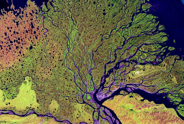
During the last decades, space-and airborne sensors have been widely used in different fields such as agriculture, meteorology, Earth sciences, geology, or exploration. Image acquisition is possible for clear and cloudy conditions and in areas difficult to access. Data acquisitions, however, are almost always conducted under conditions which require to thoroughly account for sensor calibration, atmospheric and illumination effects prior to a meaningful retrieval of geo-physical parameters such as surface spectral reflectance*, emissivity and temperature. Our physical approach of atmospheric correction software provides a practical solution to this problem. It improves the analysis of series of images since ground brightness variations caused by varying illumination conditions and atmospheric influences can be compensated.

Advantages of ATCOR®
- Usable without expert knowledge about atmospheric compensation
- Reflectance retrieval consistent over time and solar position
- Enables meaningful time series analyses through coherent reflectance and temperature retrievals
- Allows quantitative index analysis using absolute reflectances
- Supports a wide range of different sensors:
- Spaceborne: Landsat, SPOT, ASTER, Worldview, Pleiades, Planet-Scope, EnMAP, EMIT, PRISMA, Gaofen, Ikonos, Quickbird, RapidEye, VENuS, Sentinel, and many more
- Airborne: AVIRIS, Itres CASI, Specim AISA, NEO Hyspex/Mjolnir, Headwall Hyperspec, Resonon Pika, HyMap, and many more
- Easy definition and addition of new sensors
How ATCOR® Compares
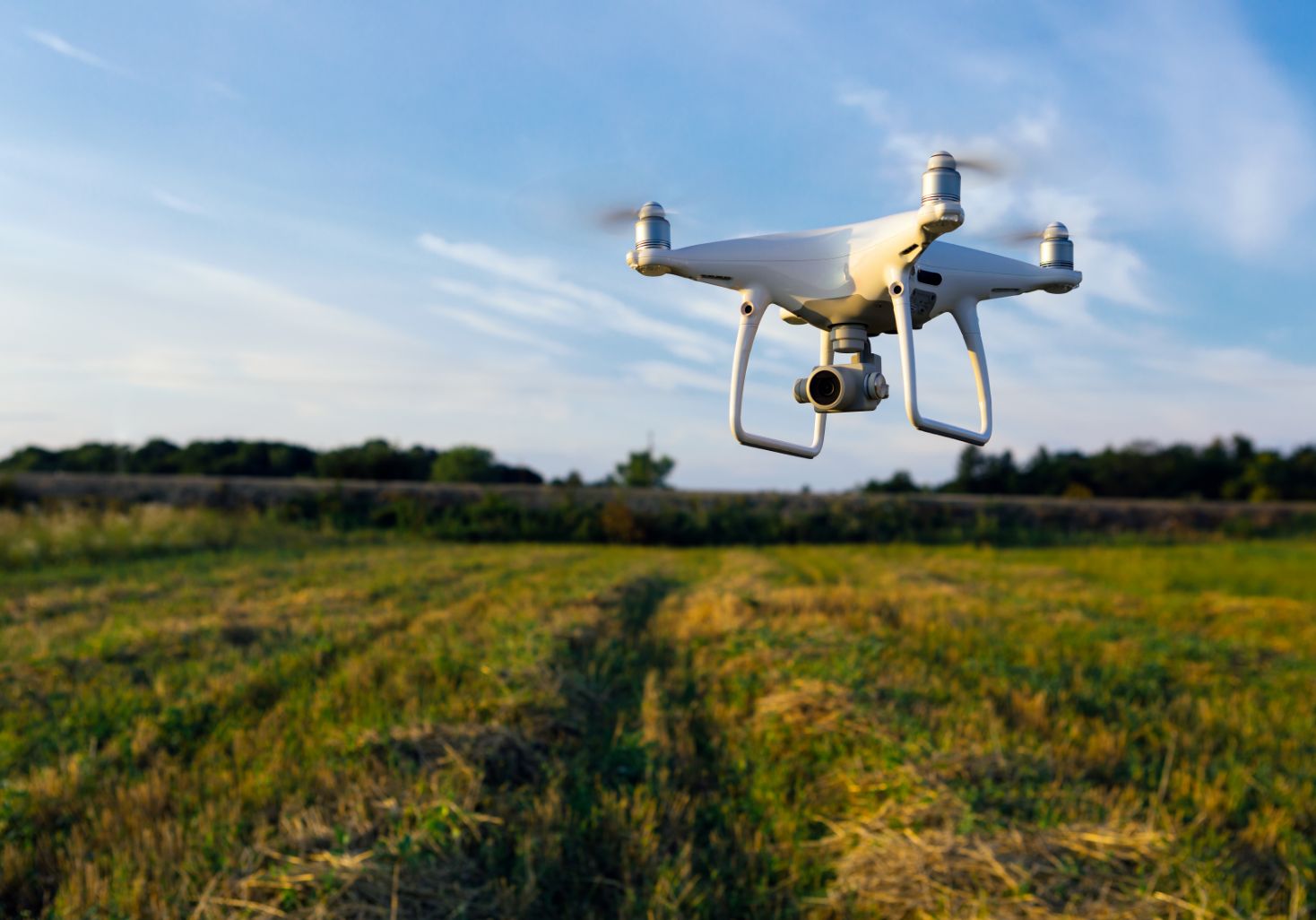
ATCOR® is optimized for satellites and higher flight altitudes (i.e. > 2 km above ground). For lower flight altitudes, like typical for drones, DROACOR® can be used.
In comparison to similar software tools (e.g. FLAASH) for atmospheric compensation ATCOR® offers:
- Terrain topographic and illumination correction
- Haze-, cirrus-, and shadow-removal
- Batch processing
- Spectral and radiometric calibration
- model based BRDF correction (BREFCOR)